Our online mapping contains

  • Community facilities
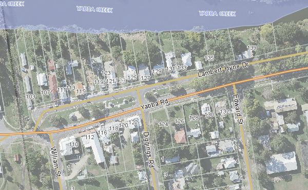
  • Property information
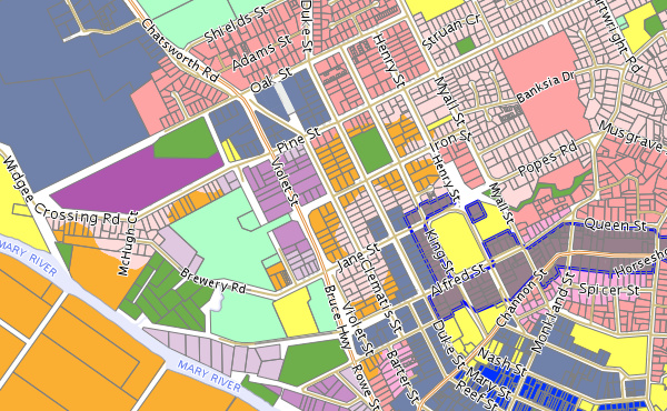
  • Town planning zones
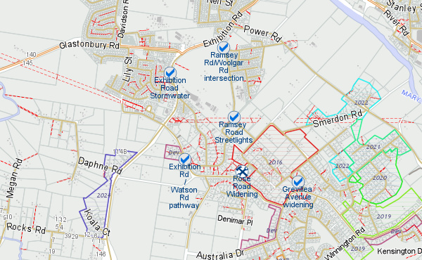
  • Council projects
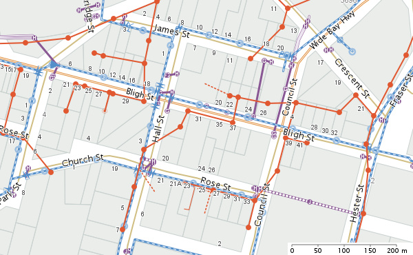
  • Underground infrastructure

Due to the large number of different layers available, a range of different mapping themes (modules) have been created. Please select the most suitable theme below.

Note: you can change themes at any time from within the online map. They are listed in the upper left hand side panel.

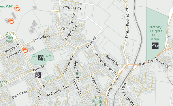
Community Facilities

View the locations of community services such as parks, halls, schools, hospitals, and more.

Property information

View Council's property related information, including Council divisions, waste collection days, and contours.

Town Planning

View a wide range of mapping layers directly related to the most recent Planning Scheme.

Council Projects

View the location of planned road works and the Southside sewerage scheme program.

Underground Infrastructure

View the location of underground pipes including stormwater, sewer and town water.

Found an error?

If you spot something that doesn't look quite right, please let us know via email. We'd be happy to look into it to ensure all our data is as accurate and up to date as possible.

The online maps will support most modern internet browsers (i.e. Microsoft Internet Explorer 8.0 and above, Mozilla Firefox, Google Chrome, Safari, Opera). Some individual security settings (i.e. pop-up blocking) may limit some of the online maps functionality.